Interstate Sailing Incorporated
Raster Charts
EXPEDITION & CHARTS
Whether you are racing or cruising, step one is to make sure your intended course will not run you aground or into other navigational hazards. Much has been made of the debate between Raster and Vector charts, and recent high profile yachting mishaps have highlighted the need for every navigator and skipper to do his or her own research into their preferred chart system. This NOAA link is a good place to start.
Whatever your preference, the Expedition chart interface provides a quick and intuitive way to manage your charts. Accepted formats include, but are not limited to:
* Raster Navigational Charts; BSB (free NOAA RNC link built in to Expedition)
* Electronic Navigational Chart; S-57 (free NOAA ENC link built in to Expedition)
* NV Charts
* C-Map
* Maptech
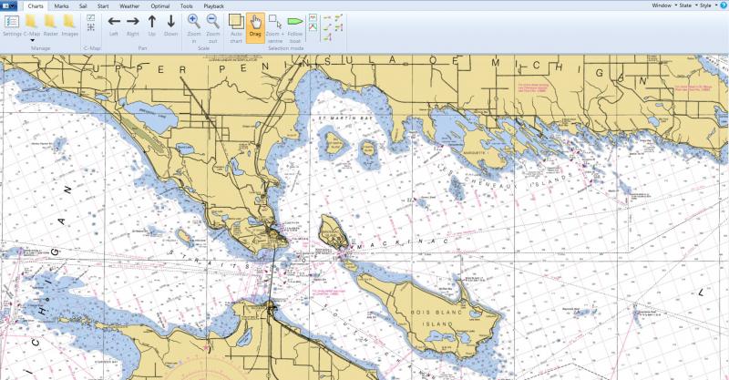
ABOVE - NOAA RNC BSB CHART IN EXPEDITION
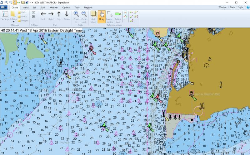
BELOW - NOAA ENC S-57 CHART IN EXPEDITION
Interstate Sailing Incorporated